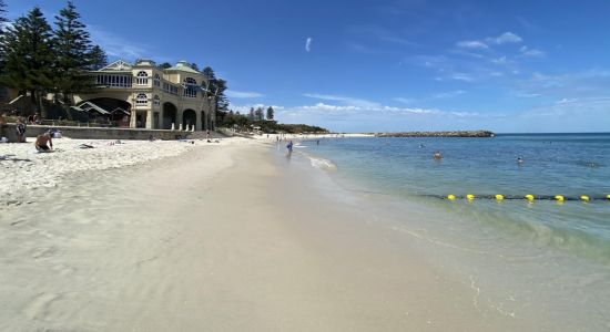
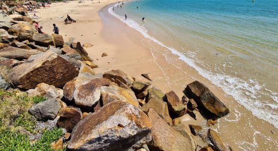
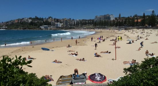
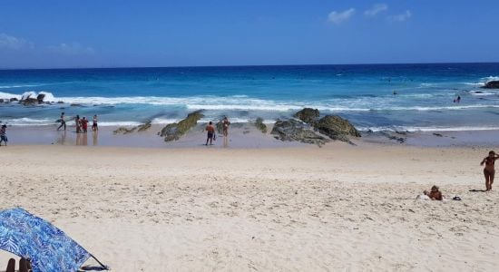
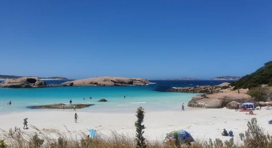
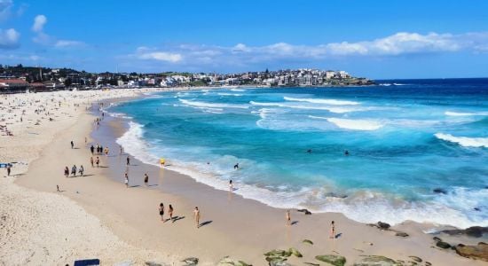
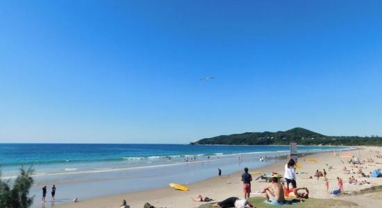
Introducing a new World Beach Map
More than 30K beaches with more detailed data and filtering
×
Photo of Daveys Bay Beach with bright sand surface © Geoff Chatfield Google
Photo of Daveys Bay Beach with turquoise pure water surface © Bud Liyanage Google
Photo of Daveys Bay Beach with straight shore © Geoff Chatfield Google
Photo of Daveys Bay Beach with very clean level of cleanliness © Geoff Chatfield Google
Photo of Daveys Bay Beach wild area © 哼哼(哼) Google
Photo of Daveys Bay Beach and the settlement © Majid Mrz Google
Photo of Daveys Bay Beach surrounded by mountains © Majid Mrz Google
Daveys Bay Beach photo #8 © Jack Wickwar Google
Daveys Bay Beach photo #9 © Kerbray Google

Daveys Bay Beach

Mount Eliza, Australia
Located within the settlement
Tuerong 14.8 km
Map of beach
Playground Frankston Regional Foreshore Playground
1.9km
Playground Mount Eliza Community Reserve Playground
2km
Playground John H. Butler Reserve Playground
2.4km
Dog Park John Butler Reserve Fenced Dog Park
2.5km
Playground George Pentland Botanic Gardens Playground
2.8km
Playground Orwil Street Playground
3.8km
Playground Jubilee Park Playground
4km
Dog Park Cobb Road Reserve Fenced Dog Park
5.1km
Dog Park S.L Butler Reserve Dog Off Leash Area
7.2km

About

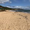
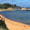
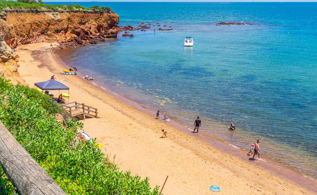
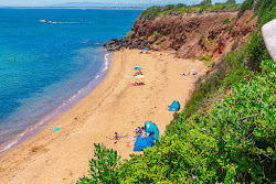
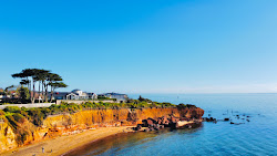
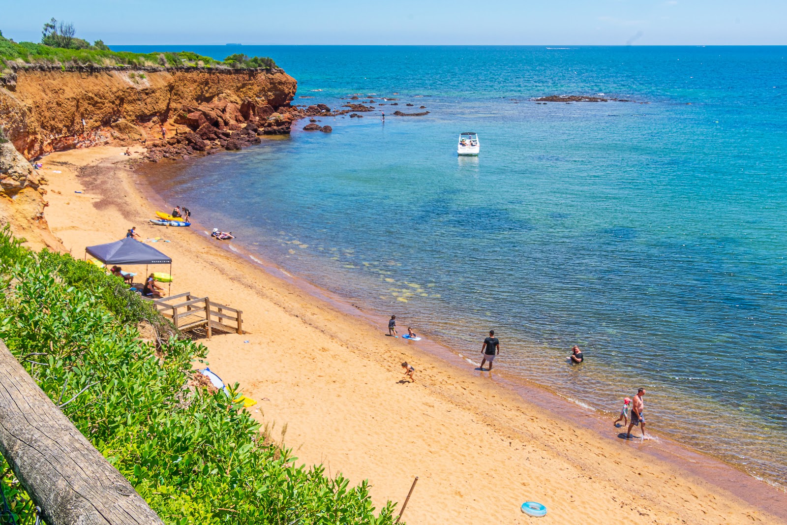
Daveys Bay Beach is located on the Bass Strait and it is in the 16th place out of 32 beaches in the Mornington Peninsula region The beach is located in an urban area, surrounded by the cliffs.

Weather

history
+14 o C +10 o C
Air temperature
7.5 M/S
Wind
+13 o C
Water temperature
1 M
Wave height

Tuerong, Victoria, Mornington Peninsula

even more interesting beaches

View
Located within the settlement
Tuerong 14.8 km
Map of beach
Playground Frankston Regional Foreshore Playground
1.9km
Playground Mount Eliza Community Reserve Playground
2km
Playground John H. Butler Reserve Playground
2.4km
Dog Park John Butler Reserve Fenced Dog Park
2.5km
Playground George Pentland Botanic Gardens Playground
2.8km
Playground Orwil Street Playground
3.8km
Playground Jubilee Park Playground
4km
Dog Park Cobb Road Reserve Fenced Dog Park
5.1km
Dog Park S.L Butler Reserve Dog Off Leash Area
7.2km
Booking.com

Area

Average rating of nearest beaches is 7.9 (Very good)

View map

Nearest Beaches

Leash Free Beach
400m 5 min walk
Leash Free Beach
7.1 Good
Canadian Bay Beach
910m 12 min walk
Canadian Bay Beach
8.2 Very good
Ranelagh Beach
1.9km 25 min walk
Ranelagh Beach
7.6 Very good
Frankston Beach
3.4km
Frankston Beach
8.6 Excellent
Moondah Beach
3.4km
Moondah Beach
7.9 Very good
Mills Beach
6.7km
Mills Beach
8.5 Excellent
Seaford Beach
7.3km
Seaford Beach
8.3 Very good

Localities

Tuerong  •  14.8km

Transport

MBW  •  20.9km
Frankston Station/Fletcher Rd  •  3.8km
Leawarra Station  •  4.5km
All nearest beaches
You can set the search radius & filter nearest beaches by features

Travelers reviews

Average Reviews rating

7.9 Very good

Travelers reviews

Share your experience with other travelers

Average Reviews rating

7.9 Very good
This beach has no reviews yet. Be the first one!