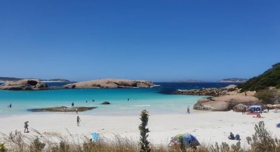
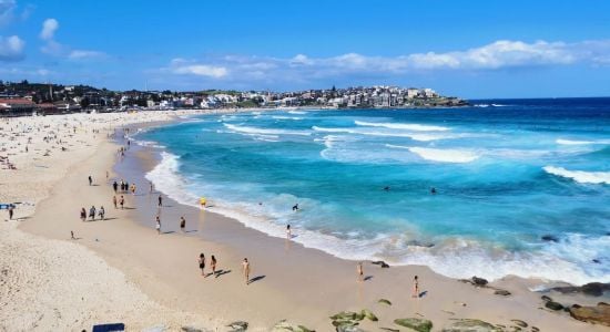
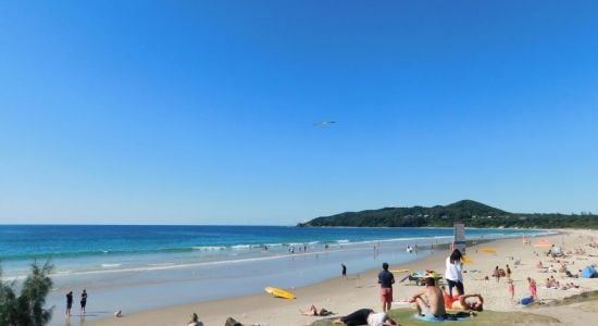
Introducing a new World Beach Map
More than 30K beaches with more detailed data and filtering
×
Photo of Little Waterloo Bay Beach with bright fine sand surface © Ashley Bailey Google
Photo of Little Waterloo Bay Beach with turquoise pure water surface © Ashley Bailey Google
Photo of Little Waterloo Bay Beach with spacious shore © Ashley Bailey Google
Photo of Little Waterloo Bay Beach with very clean level of cleanliness © Malcolm Young Google
Photo of Little Waterloo Bay Beach wild area © T L Google
Photo of Little Waterloo Bay Beach located in natural area © K.W Hiking Google
Photo of Little Waterloo Bay Beach and its beautiful scenery © Daiki Hirata Google
Photo of Little Waterloo Bay Beach surrounded by mountains © Mark Faranda Google
Photo of Little Waterloo Bay Beach backed by cliffs © K.W Hiking Google

Little Waterloo Bay Beach

Yanakie, Australia
Click on any feature to view all similar beaches in area
Located outside the settlement
Tidal River 10.1 km
Map of beach
Hiking Area Telegraph Junction Bench
4km
National Park Sealers Cove
5km
National Park Lilly Pilly Gully Boardwalk
9.6km
Park Norman Beach - North Bay
9.9km

About

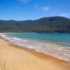
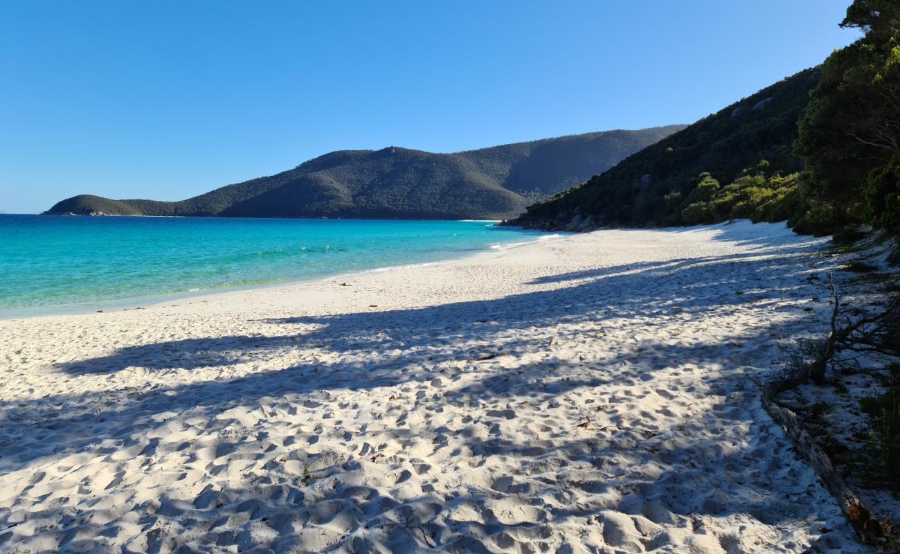
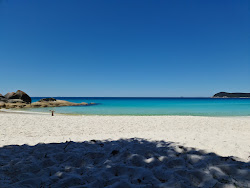
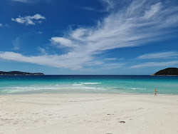
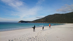
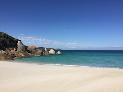
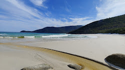
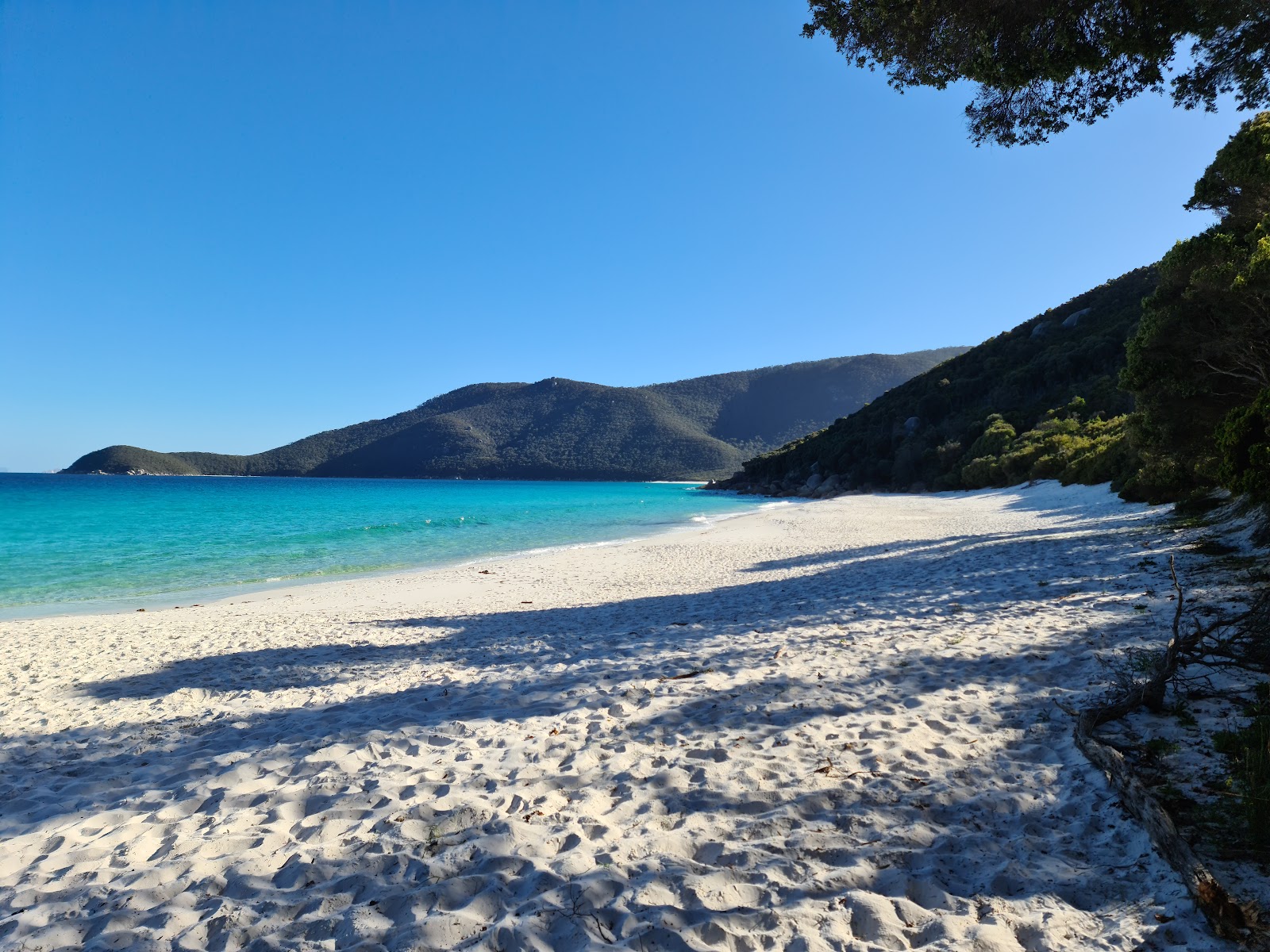
Little Waterloo Bay Beach is located on the Bass Strait and it is in the 6th place out of 20 beaches in the South Gippsland Shire region The beach is located in a natural place with very picturesque views, among the mountains, surrounded by the cliffs. It is partially covered by trees which give natural shade.

Weather

history
+15 o C +13 o C
Air temperature
6.4 M/S
Wind
+13 o C
Water temperature
2.7 M
Wave height

Tidal River, Victoria, South Gippsland Shire

even more interesting beaches

View
Located outside the settlement
Tidal River 10.1 km
Map of beach
Hiking Area Telegraph Junction Bench
4km
National Park Sealers Cove
5km
National Park Lilly Pilly Gully Boardwalk
9.6km
Park Norman Beach - North Bay
9.9km
Booking.com

Area

Average rating of nearest beaches is 7.9 (Very good)

View map

Nearest Beaches

Refuge Cove Beach
3.9km
Refuge Cove Beach
8.3 Very good
Sealers Cove Beach
5km
Sealers Cove Beach
8.2 Very good
Oberon Bay Beach
7.4km
Oberon Bay Beach
7.5 Very good
Norman Beach
10km
Norman Beach
8.3 Very good
Squeaky Beach
11.6km
Squeaky Beach
8.6 Excellent
Leonard Bay Beach
12.8km
Leonard Bay Beach
7.5 Very good
Picnic Bay Beach
13.1km
Picnic Bay Beach
7.7 Very good

Localities

Tidal River  •  10.1km

Transport

WHL  •  42.5km
Leongatha Railway Station/Long St  •  77.6km
Korumburra  •  87.9km
All nearest beaches
You can set the search radius & filter nearest beaches by features

Travelers reviews

Average Reviews rating

7.9 Very good

Travelers reviews

Share your experience with other travelers

Average Reviews rating

7.9 Very good
This beach has no reviews yet. Be the first one!