Introducing a new World Beach Map
More than 30K beaches with more detailed data and filtering
×
Photo of Yantlet Beach with light sand &  pebble surface © Clem Andrews Google
Photo of Yantlet Beach with turquoise water surface © Clem Andrews Google
Photo of Yantlet Beach with spacious shore © Dave Harper Google
Photo of Yantlet Beach with very clean level of cleanliness © Clem Andrews Google
Photo of Yantlet Beach wild area © Clem Andrews Google

Yantlet Beach

Allhallows, United Kingdom
Located outside the settlement
Allhallows 2.2 km
Map of beach
Dog Park Happy Paws Pet Services
6.6km
Playground Sheerness Sand Pit Play Park
6.8km
Playground Gunners Park Toddler Play Area
9.6km

About

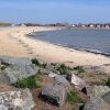
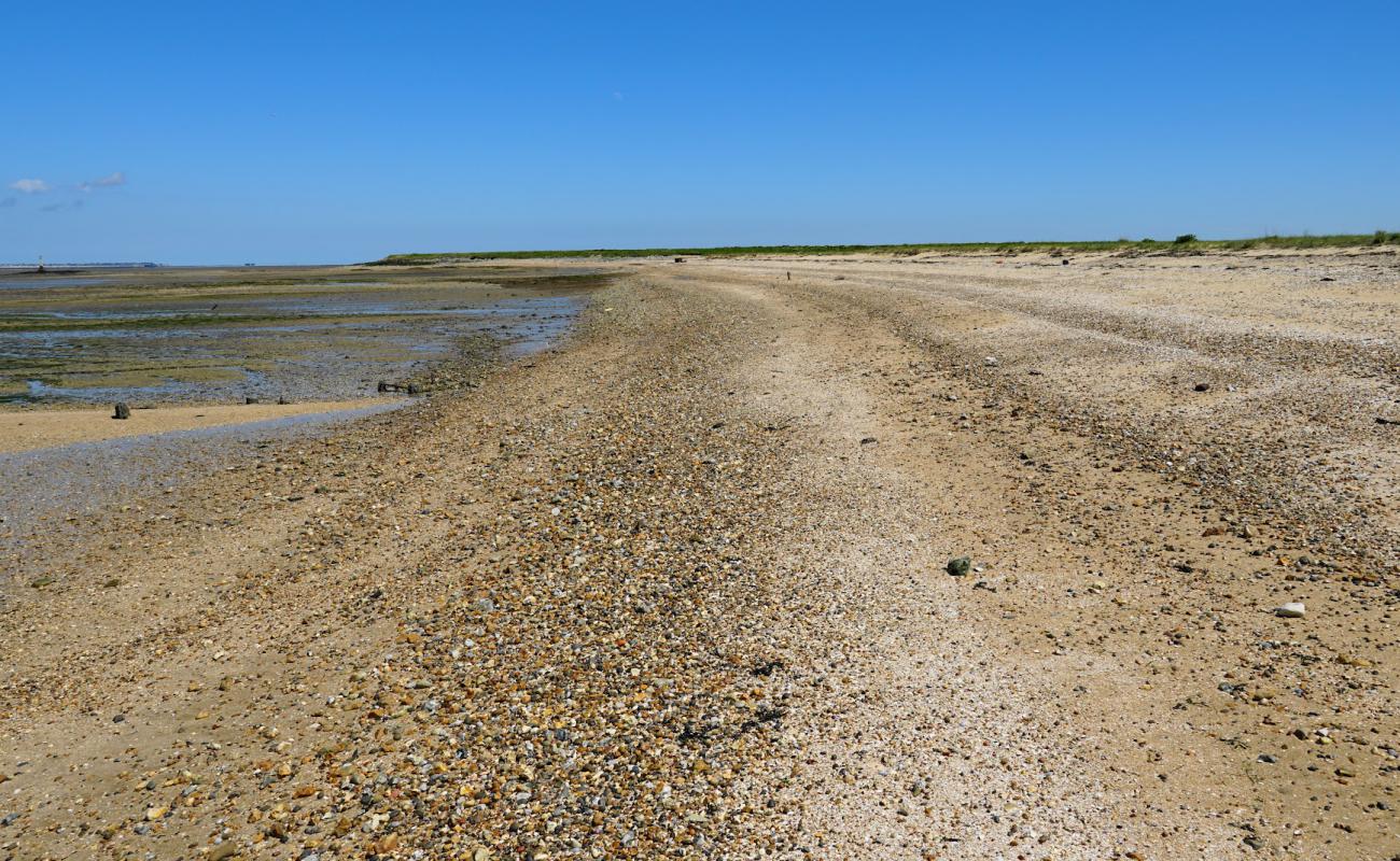
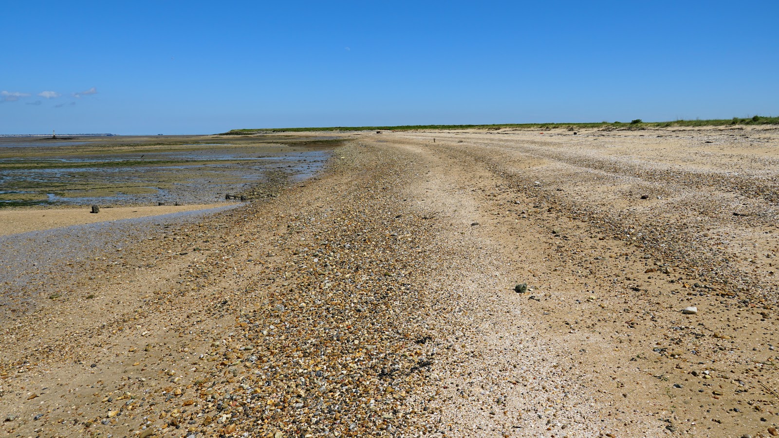
Yantlet Beach is located on the North Sea and it is in the 2th place out of 1 beaches in the Medway region The beach is located in a natural place.

Weather

history
+18 o C +16 o C
Air temperature
9.8 M/S
Wind
+18 o C
Water temperature
1.3 M
Wave height

Allhallows, England, Medway

even more interesting beaches

View
Located outside the settlement
Allhallows 2.2 km
Map of beach
Dog Park Happy Paws Pet Services
6.6km
Playground Sheerness Sand Pit Play Park
6.8km
Playground Gunners Park Toddler Play Area
9.6km
Booking.com

Stays nearby

12 accomodations nearby
7km from the beach
10 Exceptional
Located at nearest locality
Allhallows  •  8.2km   from center
Booking.com View deals
7.1km from the beach
10 Exceptional
Located at nearest locality
Allhallows  •  8.2km   from center
Booking.com View deals
Halfway  •  8.8km   from center
Booking.com View deals
Located at nearest locality
Allhallows  •  8.2km   from center
Booking.com View deals
Located at nearest locality
Allhallows  •  8.4km   from center
Booking.com View deals
Located at nearest locality
Allhallows  •  8.4km   from center
Booking.com View deals
Located at nearest locality
Allhallows  •  8.3km   from center
Booking.com View deals
Located at nearest locality
Allhallows  •  8.7km   from center
Booking.com View deals
7.3km from the beach
9.5 Exceptional
Located at nearest locality
Allhallows  •  8.8km   from center
Booking.com View deals
7.3km from the beach
9.5 Exceptional
Southend-on-Sea  •  8.7km   from center
Booking.com View deals
Located at nearest locality
Allhallows  •  8.6km   from center
Booking.com View deals
Located at nearest locality
Allhallows  •  8.8km   from center
Booking.com View deals

Area

Average rating of nearest beaches is 7.1 (Good)

View map

Nearest Beaches

Chalkwell Beach
Popular beach 7.2km
Chalkwell Beach Chalkwell beach
6.9 Good
Jubilee Beach
Popular beach 7.4km
Jubilee Beach
8.2 Very good
Sheerness Beach
Popular beach 7.7km
Sheerness Beach
7.3 Good
Shoebury beach
8.8km
Shoebury beach
6.8 Good
Shoebury East beach
Popular beach 11km
Shoebury East beach
6.7 Good

Localities

Allhallows  •  2.2km

Transport

SEN  •  11km
Waterfront Bus Station (Stop B11)  •  14.3km
Westcliff  •  7.3km
All nearest beaches
You can set the search radius & filter nearest beaches by features

Travelers reviews

Average Reviews rating

6 Pleasant

Travelers reviews

Share your experience with other travelers

Average Reviews rating

6 Pleasant
D
Desaw
Novice Beachgoer 3 weeks ago
10 Exceptional

Definitely worth checking out, but more of a quick day trip or leisurely walk destination.

0
Reply
Report
RC
Ravi Chandrasekhar
Novice Beachgoer 3 weeks ago
2 Very poor

The beach is not reachable by car, despite Google Maps providing directions. You will encounter locked gates on country or gravel roads.

0
Reply
Report
T
T-Guy
Novice Beachgoer 3 weeks ago
10 Exceptional

This is a fantastic walk starting from Allhallows. The London Stone marks the entrance to Yantlet Creek on the Grain side, offering stunning views across the Thames to Southend and Shoeburyness. The tranquility and abundance of wildlife along the way are truly peaceful. Keep an eye out for various birds, both on land and in the sea. Be cautious of the cattle, especially if they have calves. Unfortunately, you can't complete the coastal walk to Grain village due to a restricted area marked on an OS map. However, you can head in the opposite direction towards Gravesend, which is at least a 10-mile walk. The entrance to Yantlet Creek features large banks of shells that resemble sand, with clay mud in some areas. The Creek extends quite far inland and is too wide to cross. It may be possible to cross at low tide with boots, but avoid the mud. In the past, this creek was what separated the Isle of Grain from the mainland. As the Creek nears the Grain road before the Power Station, it becomes a ditch. Make sure to use an OS map to navigate the public footpaths in this farmland area, which includes a no-go zone (MoD range) and land belonging to the power stations.

0
Reply
Report
S
SunnyBarcelona
Novice Beachgoer 3 weeks ago
10 Exceptional

This is a fantastic walk starting from Allhallows. The London Stone marks the entrance to Yantlet Creek on the Grain side. You'll enjoy stunning views across the Thames to Southend and Shoeburyness. The tranquility and abundance of wildlife along the way are truly blissful, with many land and sea birds to observe. Be cautious around cattle, especially if they have calves. Unfortunately, you can't walk all the way around the coast to Grain village due to a restricted area, which is marked on an OS map. However, you can head in the other direction and walk to Gravesend, which is at least 10 miles away. At the entrance to Yantlet Creek, you'll find large banks of shells that resemble sand, with patches of clay mud. The creek extends a good distance inland and is too wide to cross. It might be possible at low tide with boots, but avoid the mud. Historically, this creek is what made the Isle of Grain an island. As it approaches the Grain road before the Power Station, the creek narrows into a ditch. Use an OS map to navigate public footpaths. The entire area consists of farmland, a no-go zone (MoD range), and land belonging to the power station.

0
Reply
Report
P
Pip
Novice Beachgoer 3 weeks ago
10 Exceptional

I walked from Allhallows on a sunny day. The tide was out, making it easy to cross Yantlet Creek onto the beach. It's unclear if it's private land, but there are no signs indicating so. Other walkers were enjoying the weather and low tide. You can walk to the historic London Stone at low tide for more information. The views of Southend and beyond were crystal clear in both directions. It was a peaceful and pleasant place for a walk, and I'll definitely return on a nice day.

0
Reply
Report